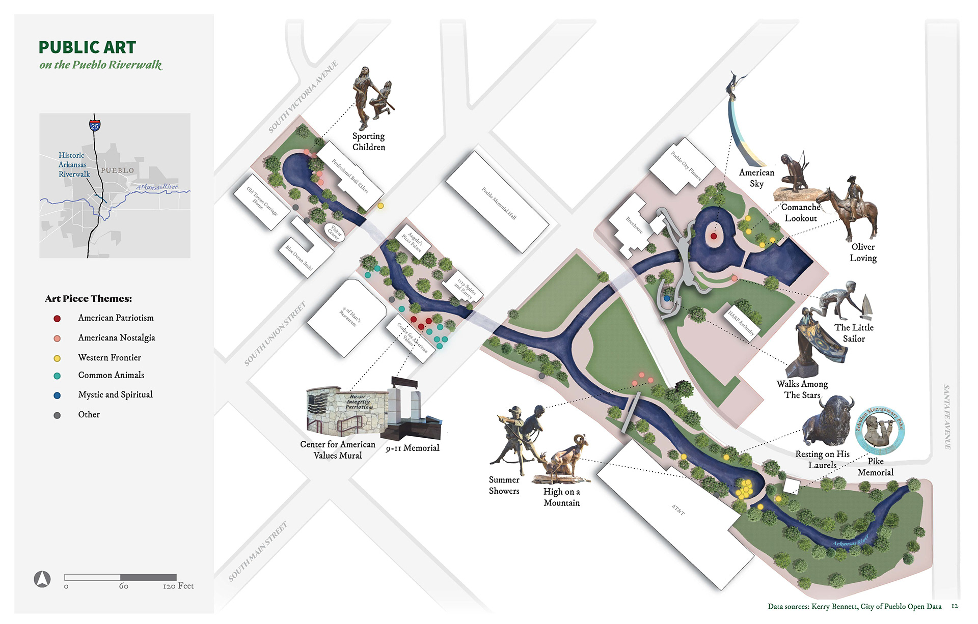

Created for Dr. Jody Beck's studio course and Dr. Alicia Cowart's Cartography course at the University of Colorado Denver.
Process: Base layer painted with watercolor, buildings and roads mapped in ArcGIS Pro, and map layout designed in Adobe Photoshop and Illustrator.
Data Sources: Pueblo County GIS, Colorado Department of Transportation.